
Day 22: Dookanelly to Possum Springs
We acknowledge the Nyoongar People as the traditional custodians of the land and waters along the Bibbulmun Track

Much of today’s walk follows this track along the river
Well, what a day!
So much for Trail Legs arriving: they have fled as quickly as they came.

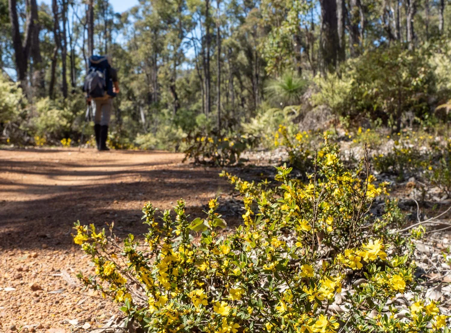
It’s the toughest by far, with a series of steep climbs late in the day plus a longer distance. Like many other older folk, we both find heat saps our energy and strength, exacerbated by dense vegetation that eliminates any chance of a breeze.
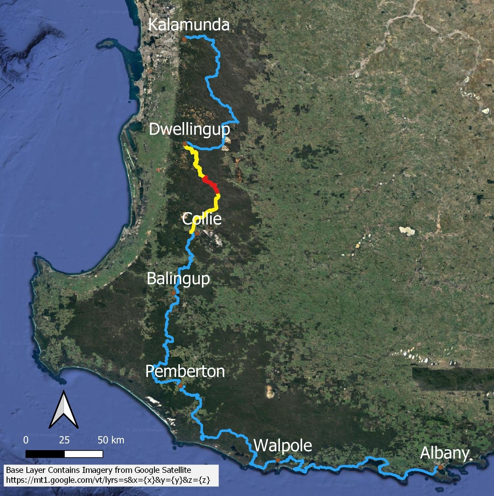
You’ll need the Bibbulmun Track Foundation Map 3 Collie and also the Bibbulmun Foundation Map 2 Dwellingup today. Yay! We always thought we were making good progress when we moved onto to a new map!
Future leisurely hikers may prefer to break this day in half into about 15km and 8km rather than a single 22km day, particularly if it is forecast to be a hot day. There is a swimming hole towards the Harvey-Quindanning Rd intersection and before that (if traveling SOBO) many spots along the river that were being used by car campers when we passed. The road crossing is also a good spot for a track transfer.

Keep your eyes peeled because this is exactly the kind of section, when you’re walking along an obvious, wide track, and the single track Bibbulmun branches off, where it’s easy to miss turnoffs. Look for wauguls on trees.

In this instance, looking back the way we’ve come, the Bibbulmun actually contours nicely around this spine rather than going straight over the top of it: amazing, because often when you’re tired it seems the track goes over every hill possible!

Bilya Djena Bidi is the suspension bridge over the Murray River. It replaces the Long Gully Bridge 12km upstream that was destroyed in a 2015 fire.

Glorious river views from the bridge


Tiptoeing along a branch to avoid a puddle. Later in the Bibbulmun, we will not be able to do this! Hiking poles are terrific for balance on river crossings too.

Xanthorrhoea (yellow flow) resin is what gives the grass tree its name. It’s an amazing waterproof substance that melts in heat and sets when cool. Used as a glue, waterproofing, in incense, polish and even in early gramophone records!
Hibbertia

The Worsley Alumina conveyor belt stretches an astonishing 50 kilometres from the Boddington bauxite mines to a processing plant in Collie. It’s the longest conveyor belt in the Southern Hemisphere. We’ve heard this conveyor belt for a couple of days but now we’re directly underneath it, it’s not running. Apparently it’s very loud this close! If you look closely, you can see Geoff underneath it.

Still climbing after the conveyor. This hill is a stinker!

We finally finish the climb. There are quite a few orchids in this pretty understorey, but many are Thelymitras still in bud.

We skirt along a section of plantation. With a plethora of newish forestry tracks, this was one of the few parts of the Bibbulmun where signage was somewhat lacking. We used our FarOut App to check which track to take. The App is free, but you buy the guides (maps). It functions on airplane mode and uses satellites rather than mobile phone towers to show your location. If you plan to do other long hikes in Australia, it’s worth getting the package of all the thru-hike guides (it’s a once-off fee) rather than just buying a single track.

I’m sure you understand by now why we are leisurely hikers!

Dampiera linearis
I’m really tired, but then, within a couple of hundred metres of the hut…


A very pale Caladenia magniclavata
and the day is suddenly a little better!

We’re finally at Possum Springs, another terrific rammed earth hut. I am absolutely, completely buggered.Geoff hurries to get the tea things out!

Once again the campsites are wonderful but all I want to do is have that cup of tea, inflate the mats and throw over the quilt. The hut is palatial and the company congenial. However, most of us, even the younger folk, are in bed the moment it gets dark! I’m hoping tomorrow will be an easier day. Where are those damned trail legs?