
Day 1 - Hellismannaleid: Rjupnavellir to Afangagil
A spectacular, easy introduction to the story of the trek: rivers, waterfalls, ash plains, volcanoes and lava fields.

The Hellismannaleid is typically a three day hike covering 59km (36 miles). It’s a quieter walk than most, one of the few wilderness walks left in Europe where you can go without seeing many people - or at least the one hiker who caught the same bus as we did indicated. He said he had walked in many places in Europe but this was one of his favourites because it remained isolated. Suffice to say he quickly scooted on ahead of us and we didn’t see anyone else for over a day! And isolated and wild it is!
The standard Day 1 is to hike 19km/11.8mi to Afangagil. But our early bus arrived in Rjupnavellir around lunchtime, so we figured we wouldn’t reach Afangagil huts. Instead, we hiked partway (around 13km/8.1mi) and wild camped outside the park boundary (no wild camping is allowed inside).
Elevation Profile Day 1
That meant we had a very long second day. To more easily spread the hike, we recommend slow hikers catch a later bus, stay at Rjupnavellir that evening and set off early the next morning.
Walk with Us:

The walk leaves the huts on a gentle track. Easy walking in perfect weather and it’s likely that your heart will be pounding with anticipation and excitement.
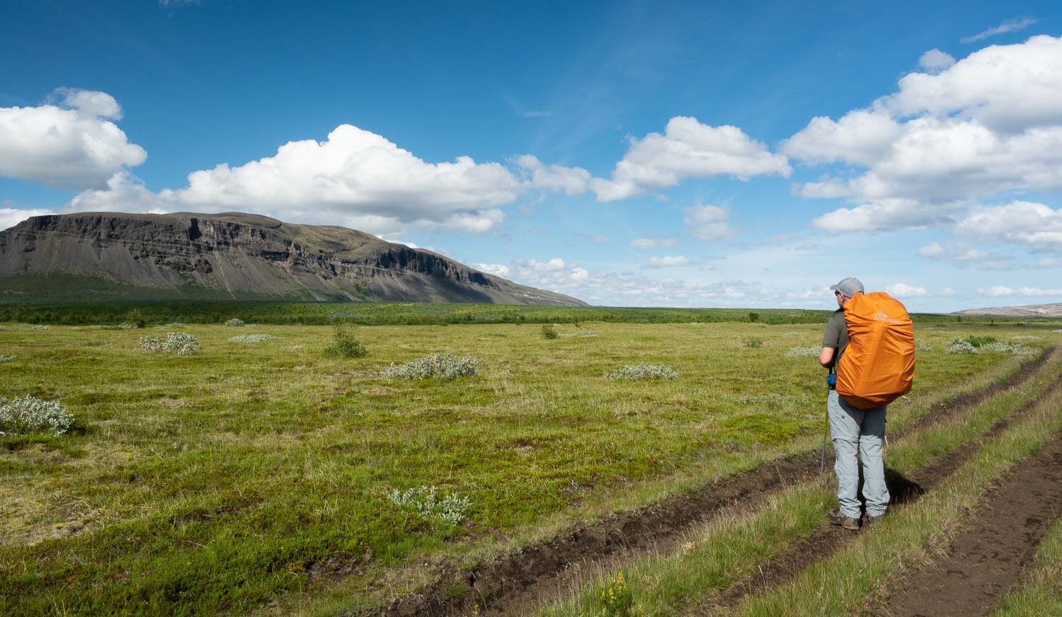
A hint of things to come, with bare Burfell to the west.

The track is well signposted, with well-built stiles. After all we’ve heard about Iceland, just look at the weather! A light breeze, warm sunshine and puffy clouds!

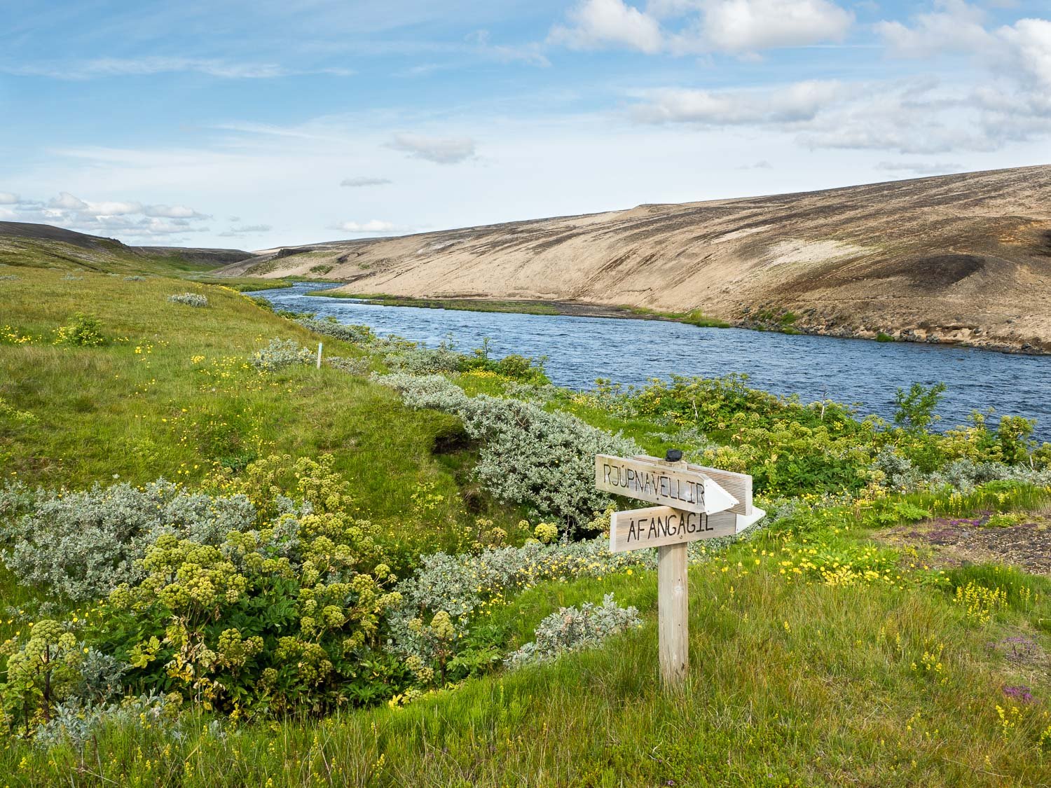
The Ytri-Ranga river provides a restful soundtrack.

The colours of the soil, the greens of the vegetation, all so different to Australia’s olive tints and hazy blues.
It’s likely you’ll have seen nothing like it.

First glimpse of ash plain - there will be plenty more! You have scarcely begun the walk and already there is a hint of the contrasts you are going to experience.
There is a network of tracks throughout this region and much of Iceland. You could spend a lifetime exploring just this tiny island.

Across the bridge to the eastern side of the Ytri-Ranga.

You’ll ford several small side streams.

Crossing the first of Hekla's ash plain, with Hekla in the background.
The ash is unexpected - much coarser, more like fine gravel - so different to the sandy red dust of the arid areas of Oz.

The starkness is astonishing. Such irony, that this beauty is partially due to deforestation.

Another stream to cross. The water is shallow and icy, the floor pebbly. Many people suggest neoprene booties, but harder-soled sandals are more comfortable.

Moonscape!

The terrain is undulating but not steep. It’s the perfect start to a multiday hike!

Bizarre volcanic landforms, as if a dragon has pooped on the hillside.

Arctic thyme (Thymus praecox ssp. arcticus)

Descending steeply with wonderful views of Fossabrekkur…

A perfect spot to pause for a snack.

Artctic Riverbeauty (Chaemerion latifolium)

Skirting close to the river.
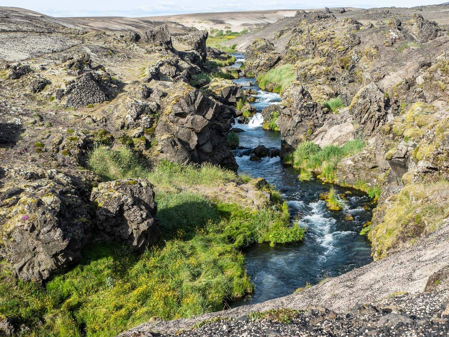
Flat plains, and then you suddenly come across a deep gorge with rushing water.
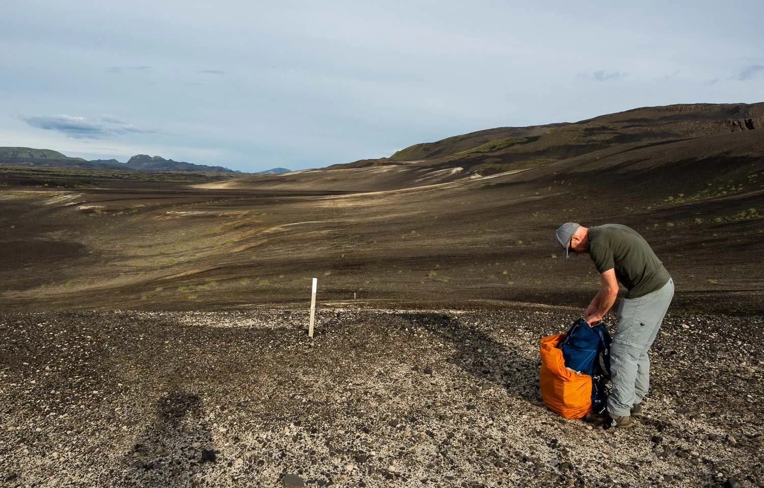
One more plain to cross - you can see the way markers stretching into the distance. It's already about 7.30pm.

As planned, slower hikers won’t quite make Afangagil Hut Campground - you’ve walked about 13km/8mi today. But you are not yet in the national park so can wild camp. This is our only wild camp while in Iceland. It has been the best start to a walk imaginable, and tomorrow promises to be even more exciting!

But first, dinner. Bolognese from home – yum!